
Hanoi Capital Master Plan with a 100-Year Vision: The Key Points
Decision No. 2512/QĐ-UBND sets a multi-polar, multi-center structure with the Red River as the main axis. A summary of the points homebuyers should know.

Contents
On 13 May 2026, the Chairman of the Hanoi City People's Committee signed Decision No. 2512/QĐ-UBND approving the Hanoi Capital Master Plan with a 100-year vision. Earlier, the City People's Council had adopted this plan in Resolution No. 03/NQ-HĐND dated 28 March 2026. The decision took effect immediately on the date of signing.
The document is long, with many economic and social figures. This article selects only the parts directly related to living space: which direction the city will develop in, what the transport infrastructure looks like, and how the West Lake (Hồ Tây) and Red River riverside areas are mentioned.
Scope and timeline
The plan covers the whole of Hanoi's administrative area, comprising 126 commune-level administrative units (51 wards, 75 communes), with an area of about 3,359.84 km². The planning period is divided into:
- Short term: to 2035.
- Medium term: to 2045.
- Long term: to 2065 and 2085.
- Strategic vision: 100 years.
On population, the decision forecasts about 14–15 million people by 2035, 15–16 million by 2045 and 17–19 million by 2065. After 2085, the population is capped at no more than 20 million.
A "multi-layered, multi-polar, multi-center" structure
The decision clearly states the principle: an urban structure that is "multi-layered, multi-tiered, multi-polar and multi-center", with the Red River as the principal ecological and cultural landscape axis. Put simply, Hanoi will no longer pile every function into the central core but will divide them among several poles, each with its own role.
The spatial framework has three groups, each with 9 components:
9 growth poles
The Central pole (the historic inner city and its extension, the right bank of the Red River), the Northern pole tied to Nội Bài airport, the Eastern pole tied to National Highway 5 and logistics, the Southern pole tied to the second airport, the Vân Đình – Đại Nghĩa pole, the Xuân Mai pole, the Hòa Lạc pole, the Sơn Tây – Ba Vì pole, and the Red River pole. The Red River pole is defined as a center of culture, finance, commerce and services, and tourism, and as a new driving force of the Capital.
9 major centers
The South Red River, North Red River, Eastern, Sports urban centers, and Phú Xuyên, Vân Đình – Đại Nghĩa, Xuân Mai, Hòa Lạc and Sơn Tây.
9 driving axes
Comprising the major transport axes linking the center with the poles. Two axes carry the name West Lake:
- The West Lake – Cổ Loa – Gia Bình airport axis: connects the center to the Northeast region and Gia Bình airport (Bắc Ninh).
- The Thăng Long Boulevard / West Lake – Ba Vì axis: connects the center to Hòa Lạc and Ba Vì National Park.
The other axes include Nhật Tân – Nội Bài / North Thăng Long – Nội Bài, National Highway 5, National Highway 1A, National Highway 21B/21C, National Highway 6, National Highway 32, and the Red River Landscape Boulevard. For the Red River axis, phase 1 focuses on the section from Hồng Hà Bridge to Mễ Sở Bridge.
Ring roads, railways and new bridges
The decision gives each ring road a different role:
- Ring Roads 1, 2, 2.5: the historic inner city area, prioritizing heritage conservation such as the Old Quarter, Hoàn Kiếm Lake and West Lake; renovation of old apartment buildings.
- Ring Road 3: restructured on a compact city model, with transit-oriented development (TOD) at major interchanges and limits on private vehicles entering the center.
- Ring Road 3.5: a chain of new urban areas, receiving the population spreading out from inside Ring Road 3.
- Ring Road 4: the economic and urban belt, the "backbone" of the new development phase.
- Ring Roads 4.5 and 5: connect Hanoi with the 5 surrounding provinces.
On railways, the total network length (including urban railways and regional/inter-regional railways) is about 1,200 km, of which urban railways are about 979 km. The network is organized in a "ring and radial" pattern, with 2 ring lines. Alongside it is a three-tier system of TOD points: national/regional level (about 5–10 points), city level (about 20–30 points) and area level (about 120–150 points).
The decision also lists the new Red River bridges to be prioritized for investment, including the Tứ Liên, Trần Hưng Đạo, Ngọc Hồi, Mễ Sở and Hồng Hà bridges, along with the renovation and widening of Chương Dương Bridge.
One important note: the decision itself states that specific locations, alignments and cross-section sizes will still be studied in later steps (sectoral planning, urban planning, investment projects). So the master plan shows the direction, not yet the detailed drawing for each road or each land parcel.
What does the decision say about West Lake, Tây Hồ Tây and the Red River?
The document does not mention Phú Thượng Ward or any specific urban area in this region by name. The directly relevant provisions are:
- West Lake and its surroundings are grouped with the Thăng Long Imperial Citadel, the Old Quarter and the Temple of Literature – Imperial Academy in the heritage and scenic sites group of the historic inner city. New construction here must raise landscape quality and promote heritage value.
- Tây Hồ Tây is one of two sites (along with Mễ Trì) chosen to receive the headquarters of ministries, sectors and central agencies when they relocate out of the historic inner city.
- The Hoàn Kiếm Lake – West Lake area is identified as the Capital's Tourism Center, with emphasis on cultural and heritage tourism and the night-time economy.
- The spaces on both sides of the Red River (between the left and right dikes, within the limits of the central urban area) are oriented to become a backbone axis for landscape and culture, with parks, public spaces and cultural and entertainment facilities. All development on the river floodplain must ensure flood drainage and comply with dike planning.
- The Right-Bank Red River urban area, the region south of the Red River extending west to the Đáy River green belt, is the Capital's political, administrative, cultural and financial headquarters.
Summary table
- Signing date, effect — Under Decision 2512/QĐ-UBND: 13 May 2026, effective from the date of signing
- Council basis — Under Decision 2512/QĐ-UBND: Resolution 03/NQ-HĐND dated 28 March 2026
- Scope — Under Decision 2512/QĐ-UBND: Whole city, about 3,359.84 km², 126 communes/wards (51 wards, 75 communes)
- Timeline — Under Decision 2512/QĐ-UBND: 2035, 2045, 2065, 2085; 100-year vision
- Maximum long-term population — Under Decision 2512/QĐ-UBND: No more than 20 million people (after 2085)
- Structure — Under Decision 2512/QĐ-UBND: Multi-layered, multi-tiered, multi-polar, multi-center; the Red River as the principal axis
- Spatial framework — Under Decision 2512/QĐ-UBND: 9 growth poles, 9 major centers, 9 driving axes
- Railways — Under Decision 2512/QĐ-UBND: About 1,200 km (urban railways about 979 km), "ring and radial" structure
- West Lake area — Under Decision 2512/QĐ-UBND: Inner-city heritage; Tây Hồ Tây receives relocated central agency headquarters
What homebuyers should do
- Understand the level correctly: this is a master plan, a general orientation. To know what a specific lot will be used for, you must look at the zoning plan and detailed plan of that area.
- Follow the next steps: the decision assigns the Department of Planning and Architecture to issue the Planning Management Regulations, advise on the Implementation Plan, and review approved plans and projects to determine which content remains suitable.
- Read the original document on the City's official portal, and do not rely on map images circulating online.
- For roads, bridges and metro stations near your home: check whether an approved project exists yet, because the master plan has not fixed detailed locations.
- Ask the developer for the project's detailed plan approval decision and compare it with the planning information provided by the state agency.
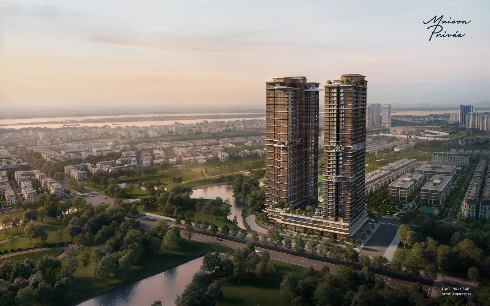
If you are looking into homes in the Ciputra area, Phú Thượng, near West Lake and the Red River, you can view the projects Tami distributes such as Maison Privée, Astor 1 and The Windsor Collection.
Reference documents
- Decision No. 2512/QĐ-UBND dated 13 May 2026 of the Hanoi City People's Committee approving the Hanoi Capital Master Plan with a 100-year vision. Original document (PDF): https://datafiles.hanoi.gov.vn/gov-hni/6244/VanBan/2026/5/14/QD-2512-2026.pdf · Document page: https://vanban.hanoi.gov.vn/chi-tiet-van-ban/phe-duyet-quy-hoach-tong-the-thu-do-ha-noi-tam-nhin-100-nam-246238 · Full text on the Government Portal: https://xaydungchinhsach.chinhphu.vn/toan-van-quyet-dinh-so-2512-qd-ubnd-phe-duyet-quy-hoach-tong-the-thu-do-ha-noi-tam-nhin-100-nam-119260515164719871.htm
- Resolution No. 03/NQ-HĐND dated 28 March 2026 of the Hanoi City People's Council adopting the Hanoi Capital Master Plan with a 100-year vision (cited in the legal-basis section of Decision 2512).
- Information from the City People's Committee: https://hanoi.gov.vn/chi-dao-cua-ubnd-thanh-pho-ha-noi/phe-duyet-quy-hoach-tong-the-thu-do-ha-noi-tam-nhin-100-nam-4260514111555703.htm
This article is general information compiled from legal documents and does not replace legal advice. Updated on 23 October 2026.
For detailed project information and the latest sales policy, please contact TAMI REAL ESTATE via our hotline or leave your details below.
Free consultation
Need a project that fits your budget?
A TAMI advisor will give you detailed advice for your needs.
Get adviceRelated articles
View all news
Legal & Planning
Resolution No. 254/2025/QH15: Land Changes Applying from 1 January 2026
From 1 January 2026, land prices are calculated using the land price list and adjustment coefficient, and there are new cases of land recovery. A summary of what homebuyers need to know.
Legal & Planning
Decree No. 54/2026/NĐ-CP: What's New on Social Housing and Real Estate Trading Floors
Decree No. 54/2026/NĐ-CP amends 6 decrees on housing and real estate business: simpler social housing procedures, and trading floors that cease operating must notify the Department of Construction.
Legal & Planning
Buying an Off-Plan Apartment: 5 Things to Check Under the 2023 Law on Real Estate Business
Buying an apartment that is not finished yet? 5 points to review under the 2023 Law on Real Estate Business: sales eligibility document, guarantee, deposit, payments, mortgage.